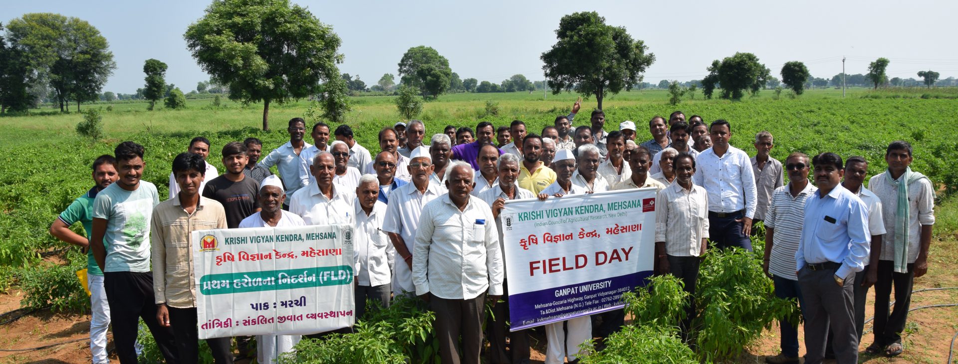

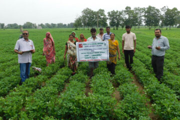
Front Line Demonstration
Front Line Demonstration is one of important mandate of KVK through which KVK demonstrated the important technology at the farmer's field every year. Various new technology like latest...
READ MORE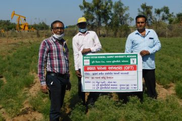
On Farm Trial-OFT
On Farm Trial (OFT) takes existing new technology and tailors it to defined areas and defined group of farmers. OFT is essentially problem solving research with farmers’ perspective
READ MORE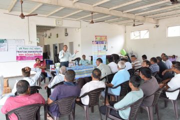
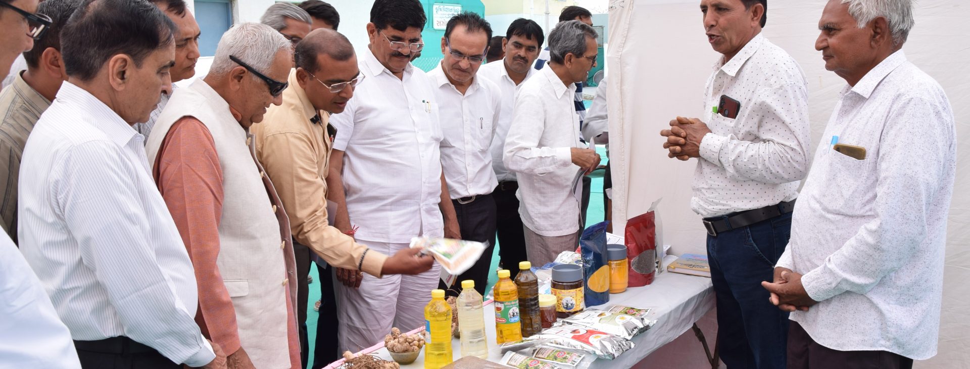
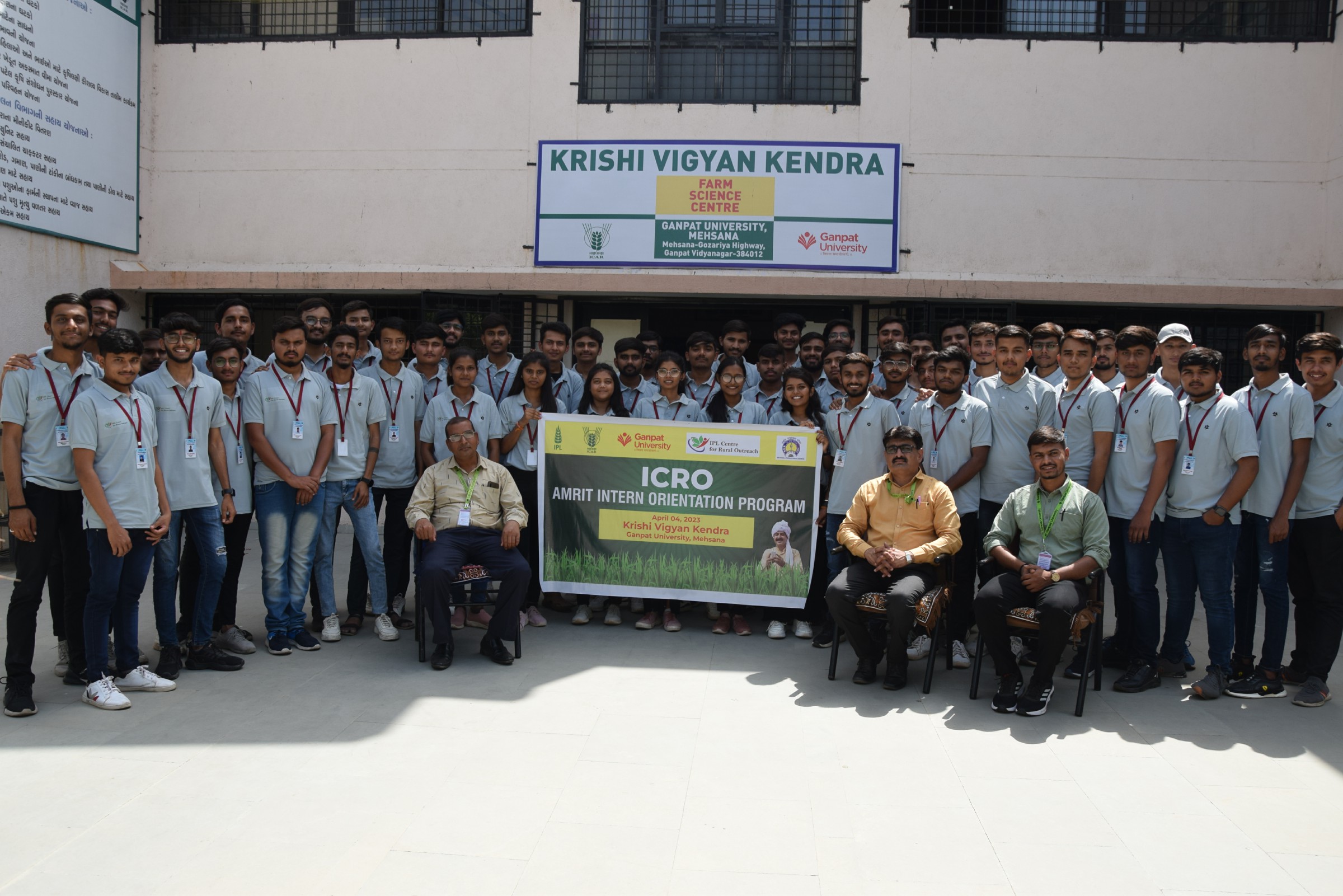
Training Programme
Most of the on campus trainings are conducted for imparting the skills through practical training in the instructional units of the KVK. Improving productivity and self-employment generation...
READ MORE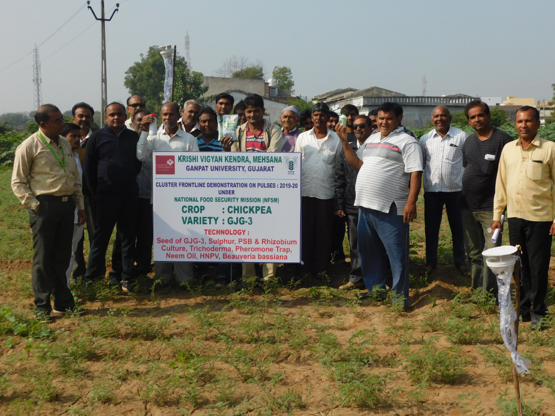

Latest News More News
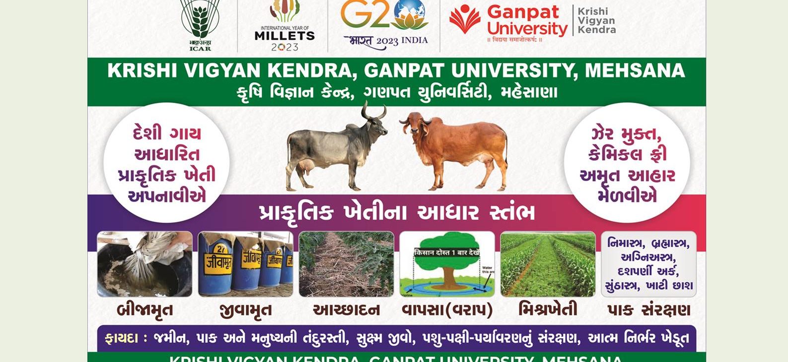
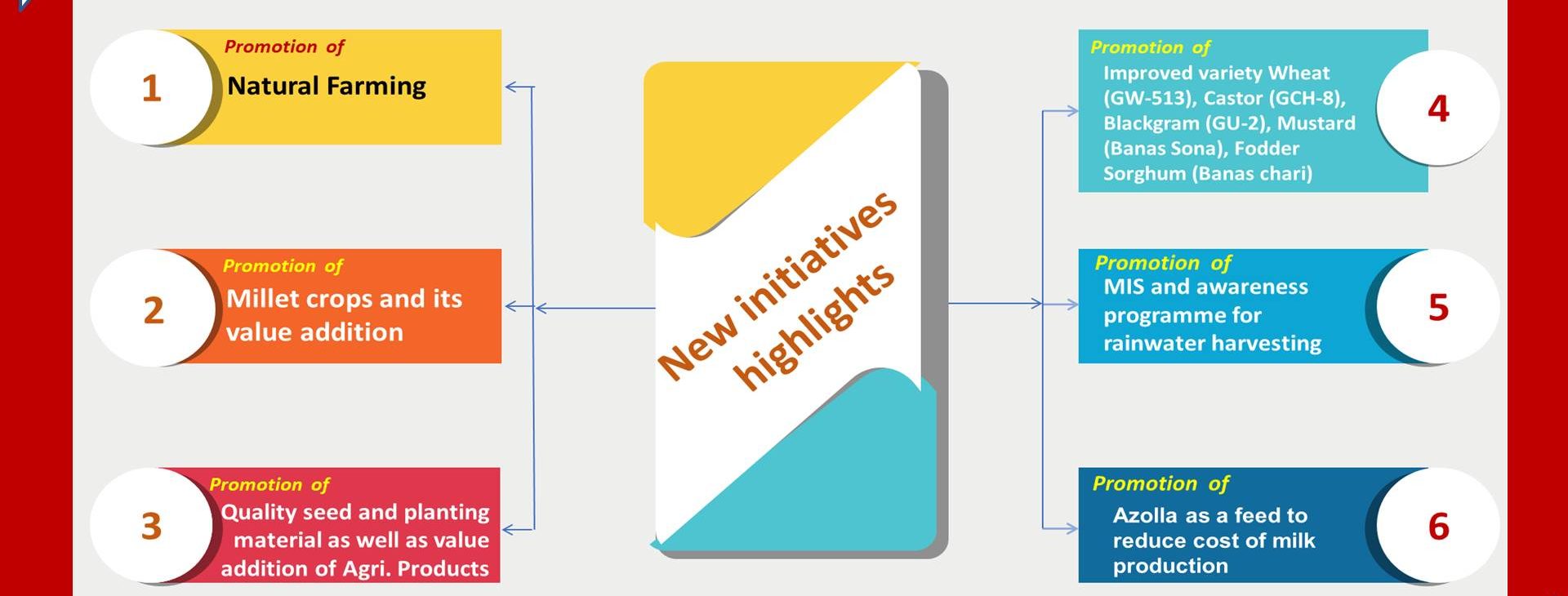
International Year of Millets (IYoM)-2023
Millets have been an integral part of our diet for centuries. In addition to a plethora of health benefits, millets...
Read Post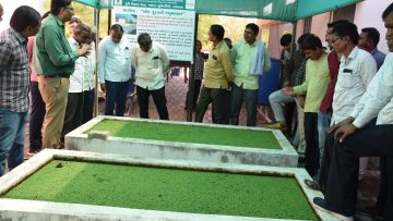
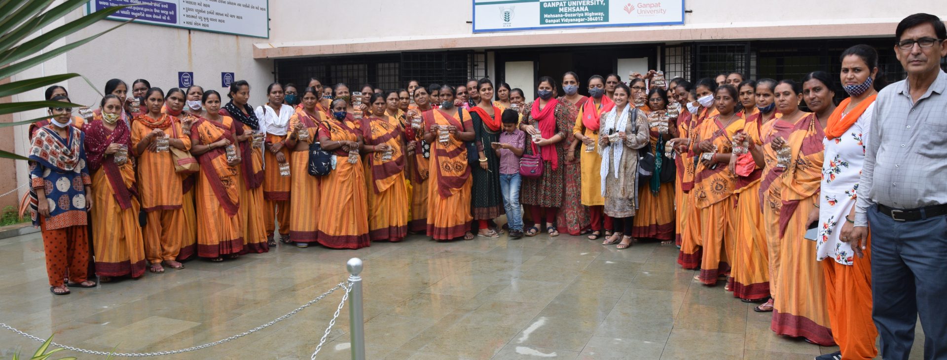
Two day residential training programme of Village Rampura ( Kot)
Organized two on campus training programme at KVK on Prakrutik Kheti Village - Rampura ( Kot ) Date : 3-4 May 2023 NUmber...
Read Post
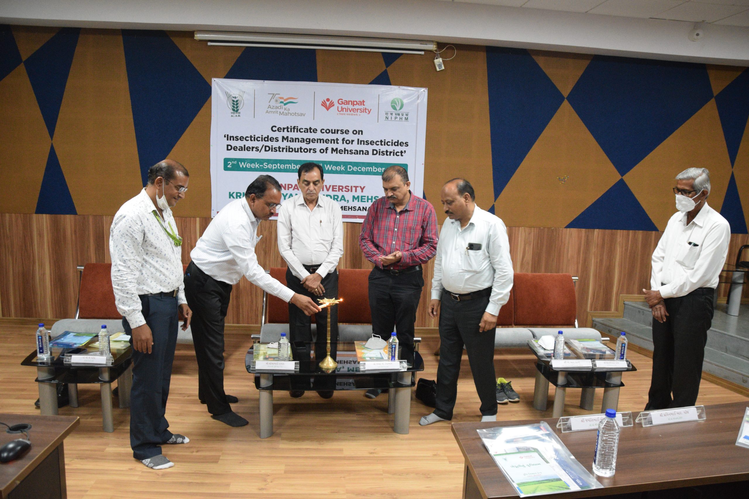
12 week Certificate course
We started 12 week Certificate course on Insecticides management for insecticides dealer / distributor on 9th September,...
Read Post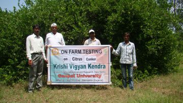
One day Seminar on Horticulture Farming
Horticultural products include all products, raw or processed, that arise from the horticultural industry. This broadly...
Read Post